
The Achiguate River: route, history and challenges
Origin and geographical course
The Achiguate River is one of the most important river systems in southwestern Guatemala. Its sources are located on the slopes of the Sierra Madre volcanoes, especially on the slopes of the Fire Volcano, in the departments of Sacatepéquez and Escuintla. Wikipedia
From its source, the river descends with a steep drop due to the volcanic topography. Guatemala.com
Its basin has an approximate area of between 1,290 y 1,350 km², encompassing parts of the departments of Chimaltenango, Sacatepéquez and Escuintla. ICC During its course it passes through municipalities such as San Bartolomé, Acatenango, Antigua Guatemala, Santa Lucía Milpas Altas, Ciudad Vieja, and finally flows into the Pacific Ocean on the coast of Escuintla. digi.usac.edu.gt
Connection with the Pensativo River and the Sacatepéquez Basin
One of the most interesting facts is the connection between the Achiguate and the Pensativo River which run through the department of Sacatepéquez and the city of Antigua Guatemala. The region known as the “Pensativo sub-basin” includes several tributaries (such as the Santa María, Manzano, San Miguel, Las Cañas, El Sauce rivers, among others). asociaciontikal.com
The Pensativo River has a course of approximately 10 km within Antigua and its surroundings before joining the Guacalate River, which later flows into the Achiguate .Wikipedia
In other words, some of the water that flows through Antigua (Pensativo) ends up becoming part of the Achiguate River, which shows that the city is integrated into a larger watershed with key connections. SNIPgt
Historical significance for Antigua Guatemala
The Pensativo River, one of the tributaries of the basin, has played a fundamental role in the historical development of Antigua Guatemala. Ancient documents and archaeological studies show that the river supplied fountains and aqueducts during the colonial era, and its course has changed over time, both due to natural causes and human interventions. asociaciontikal.com
For example, the river shifted its course around 40 meters to the west which affected historic city blocks, including areas near old convents and colonial bridges. Wikipedia
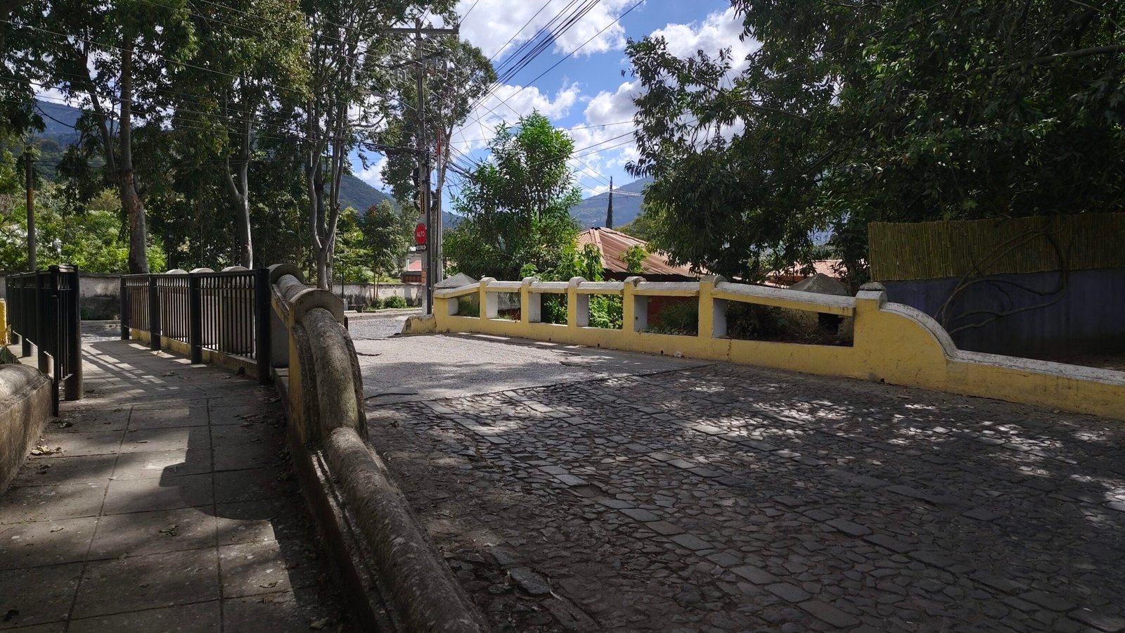
Bridges and structures over the Pensativo River / Achiguate
In Antigua Guatemala, several bridges and arches crossed the Pensativo River. Some have disappeared, others have been rebuilt. According to 18th-century colonial records:
- Arch of the Matazano: rebuilt, and its modern location is displaced compared to the colonial position. Wikipedia
- Arch of the Nuns and Arch of the Cross of the Miracle They no longer exist, according to old maps. Wikipedia
- Matates Arch (or Carranza Arch) and Arch of the Remedies They were also rebuilt on the original colonial foundations. Wikipedia
Furthermore, the riverbed has undermined parts of old city blocks, demonstrating how hydraulic dynamics have transformed the urban layout over the centuries. Wikipedia
Natural hazards and contemporary use
Due to its origin in volcanic areas, Achiguate is exposed to risks inherent to the local geology: during the rainy season, torrential currents, mudslides and floods can occur, especially due to its proximity to the Fuego Volcano. munimasagua.com.gt
These events pose a significant threat to downstream communities, particularly when waterways are not well managed.
In dry times, the river is also important for the agricultural irrigation Its waters are used by local populations for crops such as sugar cane, among others. munimasagua.com.gt
Pollution and restoration efforts
He Ministry of Environment and Natural Resources (MARN) has promoted actions for the cleanup of the Achiguate basin. marn.gob.gt Cleaning days have been organized, in which floating debris has been removed from the river, with the support of the Municipality of Antigua and volunteers. marn.gob.gt
Furthermore, progress has been made in shaping a Achiguate Basin Technical Committee, an inter-institutional body that brings together municipal authorities, the Ministry of Environment and Natural Resources (MARN), representatives of civil society and local communities, with the objective of coordinating water management and restoration plans. marn.gob.gt
This committee also aims to ensure that municipalities comply with wastewater discharge regulations, in order to reduce pollution and improve the health of the river. Guatemalan News Agency
Ecological and social importance
The Achiguate basin is vital for the natural and human environment:
- Ecology: its course crosses mountainous areas and coastal plains, providing habitats for flora and fauna in a volcanic landscape. digi.usac.edu.gt
- Community: Many communities depend on its water for agriculture, making it a vital economic and social resource. Guatemala.com
- Risk management: given the potential for flash floods, it is key to disaster prevention if properly planned. munimasagua.com.gt
Challenges and perspectives
Some of the main challenges are:
- Institutional coordinationThe technical working group is a good step, but real commitment, continued funding, and oversight are needed to ensure that agreements translate into concrete protection actions. Government of Guatemala
- Sanitation infrastructure: It is essential to improve or build wastewater treatment plants to prevent untreated discharges from continuing to degrade the river.
- Community education: To raise awareness among local populations about the importance of caring for the river, reducing waste, and participating in conservation.
- Environmental monitoring: Install monitoring stations to measure water quality, flows and the presence of solids to assess the impact of interventions.
- Adapted hydraulic infrastructure: Rebuild or reinforce bridges, retaining walls and banks to prevent damage during floods, especially in vulnerable areas.